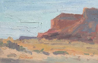
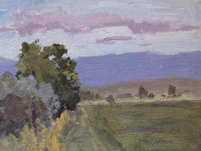
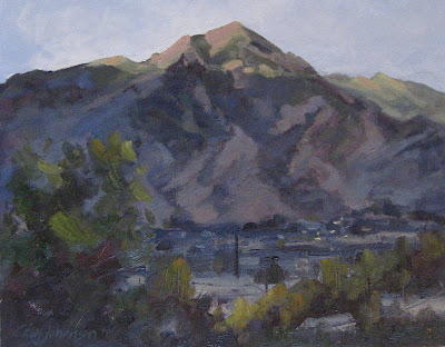
plein air, 8" x 10", oil, 'Sundown'
Tuesday, April 30, 2013
Monday, April 29, 2013
Sunday, April 28, 2013
Saturday, April 27, 2013
You Are What You Give
plein air, 9" x 12", oil, 'September Reservoir'
Escalante Petrified Forest State Park is located in beautiful southern Utah, just 44 miles east of Bryce Canyon National Park, outside the town of Escalante. Hike along park nature trails through a petrified forest, camp along the shores of Wide Hollow Reservoir. At the Visitor Center, view displays of plant and marine fossils, petrified wood and fossilized dinosaur bones over 100 million years old.
Wide Hollow Reservoir was constructed in 1954 to provide irrigation for the town of Escalante. The small reservoir is also popular for water sports including swimming, boating and fishing. Over time, the Wide Hollow Reservoir filled up with silt, so in 2009 the reservoir was drained. The project included
reconstruction of the existing earthen dam to restore water storage capacity that had been lost to sedimentation and to bring the facility to present-day dam safety requirements.
This is what the Wide Hollow Reservoir looked like after completion in 2011. FANTASTIC!!
Friday, April 26, 2013
Thursday, April 25, 2013
Wednesday, April 24, 2013
Tuesday, April 23, 2013
Monday, April 22, 2013
Sunday, April 21, 2013
Saturday, April 20, 2013
Friday, April 19, 2013
Thursday, April 18, 2013
Wednesday, April 17, 2013
Tuesday, April 16, 2013
Monday, April 15, 2013
Sunday, April 14, 2013
Saturday, April 13, 2013
Friday, April 12, 2013
Thursday, April 11, 2013
The Wood Hollow Fire
plein air, 6" x 8", oil, 'Cedar Hills Beauty'
The 2012 Wood Hollow fire in Sanpete County will go down in history as Utah's most frightening wildfires. Fueled by erratic winds, destroying 160 structures, including 52 homes, and claiming the life of one person.
The wildfire started June 23, 2012 and burned 47,387 acres in 10 days. It was fought by 789 people, as well as seven helicopters and eight airplane tankers. Total costing nearly $4 million to fight.
The 75-square-mile blaze began near Fountain Green when winds caused two sets of high-voltage power lines to either touch or swing close enough to each other to create a surge then swept down the poles into dry brush.
Sunday, June 24, 2012 by my home on 5th West in Mt. Pleasant
Monday, June 25, 2012 in the meadow looking west
Tuesday, June 26, 2012 approaching the range-land
As I drove farther into the Cedar Hills, north-west of Mt. Pleasant, it seemed the fire had shifted to the south. I thought for sure I would never see the old granary again.
Instead, the wind changed directions and raced towards the north saving the structure and fences on our property. The town of Fairview was evacuated and highway 89 was closed soon after I took these parting shots of the Cedar Hills.
Wednesday, April 10, 2013
Tuesday, April 9, 2013
Monday, April 8, 2013
Sunday, April 7, 2013
Standards and the Limbo
plein air, 9" x 16", oil, 'Cedar Hills View'
Have you ever taken a shortcut to save time or money? Here are a few examples.

Jaywalking, no-bake cookies, hot gluing merit badges on a scout uniform, drying your hair with the car's heater on the way to work. Not always the safest route or the best quality but at least we get 'er done!
How about computer shortcuts to expedite online time? Easy, fast, and convenient, we want to compress time right? Nothing wrong with that, eh?
How about computer shortcuts to expedite online time? Easy, fast, and convenient, we want to compress time right? Nothing wrong with that, eh?
stand·ard
/ˈstandərd/
Noun
A level of quality or attainment
But what about standards of what matters most. Can they be set and then changed for our weaknesses or conveniences? Does raising the bar make
life easier or harder? It may seem more difficult at first to raise
our standards but isn't
it like doing the limbo? The lower the
bar gets the harder it gets to do. When
we lower the bar of our standards doesn't life get harder too? Does the quality of our
life change? What do you think?
Can you limbo?
|
Saturday, April 6, 2013
Air Force
plein air,10" x 12", oil, 'Mount Carmel Thunderhead'
What an awesome cloud to watch at Mount Carmel, Utah
Friday, April 5, 2013
Get Ready to Do Something Daring!
plein air, 10" x 12", oil, 'Painted Rock'
Yuba State Park located approximately 25 miles (40 km) south of Nephi, Utah got its name from the individuals who built the dam. Local farmers and ranchers had to build the dam themselves or risk losing their water rights. The men working on the structure called it the U.B. Dam. As they worked they sang a song that stated they were damned if they worked and damned if they didn't. The phonetic sound of the reservoirs name was eventually spelled Yuba.
Visitors with a good eye can sometimes find evidence of the ancient Native Americans that once lived in the area. Rock art, pieces of pottery, and stone tools are among items that have been found around the reservoir.
Thursday, April 4, 2013
The High Uintas, I Know the Way!
studio, 9" x 12", oil, 'Follow Me'
The Uintas includes a high, pristine mountain area in northeastern Utah that is popular for fishing, hiking, backpacking, horsepacking, hunting and other outdoor activities. Much of the area is designated as a roadless wilderness where vehicles are prohibited.The Uinta Range is the highest in Utah, and is the only major range in the contiguous United States with an east-west orientation. Elevations range from 8,000 feet in the lower canyons to 13,528 feet atop Kings Peak - the highest point in Utah. Ridges divide the area into large, scenic basins; many ridges rise abruptly several thousand feet above the basins.
Wednesday, April 3, 2013
What Are You Waiting For?
studio, 8" x 10", oil, 'Salt Lake Early Evening'
Change will not come if we wait for some other person or some other time.
We are the ones we've been waiting for.
We are the change that we seek.
Tuesday, April 2, 2013
Monday, April 1, 2013
Subscribe to:
Comments (Atom)


